Our GIS Experience
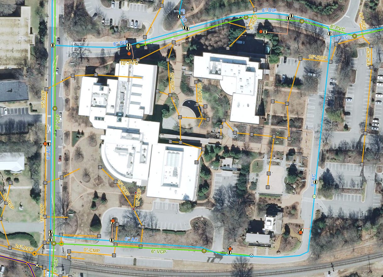
WithersRavenel provides the necessary support to make a successful GIS system, including purchasing and configuring services; establishing network and Internet connections; and developing workflows, databases, and software. We help clients implement their own GIS programs, from a single desktop user to a complete network.


Case Study
-
- Client
- Sampson County, NC
-
- Project Location
- Sampson County, NC
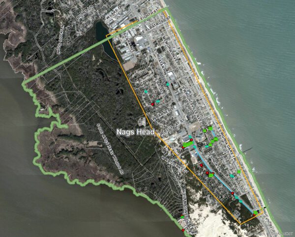
Sampson County uses GIS to store data related to property boundaries, census tracts, public works infrastructure, zoning, floodplains, and government districts, including school, fire, parks and recreation, and voting. They also share that data via a
View Project DetailsOur Proven Strategy
When limited, outdated, or no GIS data exists, we leverage our in-house surveying, remote sensing, and GIS personnel to collect and compile new data.
- Data You Need. We plan field data collection efforts with the final GIS database and reporting goals in mind, allowing us to focus on getting the data you need without spending a lot of time on data you will not use.
- Train for Success. In the office, we train client staff how to access, interpret, and share their data. We can also automate GIS conversion and processing tasks, reducing the burden on staff to keep databases up-to-date. Users get the ability to make more informed decisions, and stakeholders gain insight into how their community is solving infrastructure challenges.
What our clients are saying
The USGA has been working with WithersRavenel for more than 10 years on a variety of projects related to the U.S. Open, but took the partnership to a new level when the USGA changed its mapping software and ultimately its Championship planning. In 2014, WithersRavenel presented multiple mapping options to the USGA, helping guide us to where we are currently using ArcGIS. WithersRavenel trained the USGA staff on the software and has been a valuable resource as we’ve implemented the program. WithersRavenel continues to help improve Championship planning for the U.S. Open by introducing new features, such as 3D modeling, to the USGA.
Let's Connect!


