Remote Sensing: Mapping & Imaging on Land, in the Air, and Underwater
Start-to-finish service on projects of all sizes
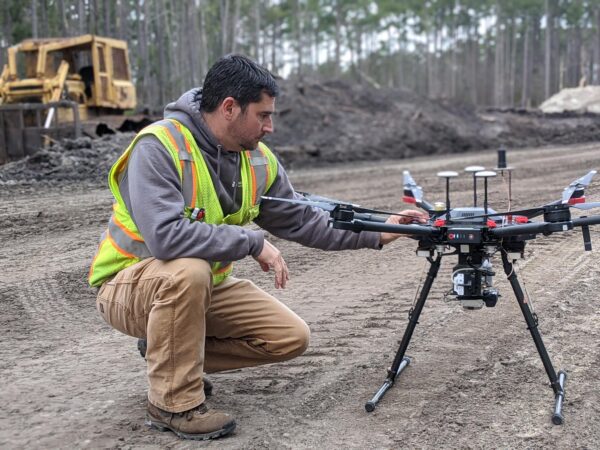
Whether you need data for a single property or multiple parcels, an urban or rural corridor, or entire community, we deliver through our robust remote sensing services. Moreover, our investments in the latest technology are reflected in the speed and quality of service we provide. This includes LiDAR sensors and state-of-the-art electronic total station equipment.
Combined technologies for greater accuracy
Capturing the distances, angles, and elevations of a site takes time, but a flight path provides a handy guide to covering any terrain efficiently. When you need to know how visible and invisible infrastructure interact, we merge the results of aerial and subsurface investigations. No matter where a site is located, we have the remote sensing technology to survey it.

Let's Connect!