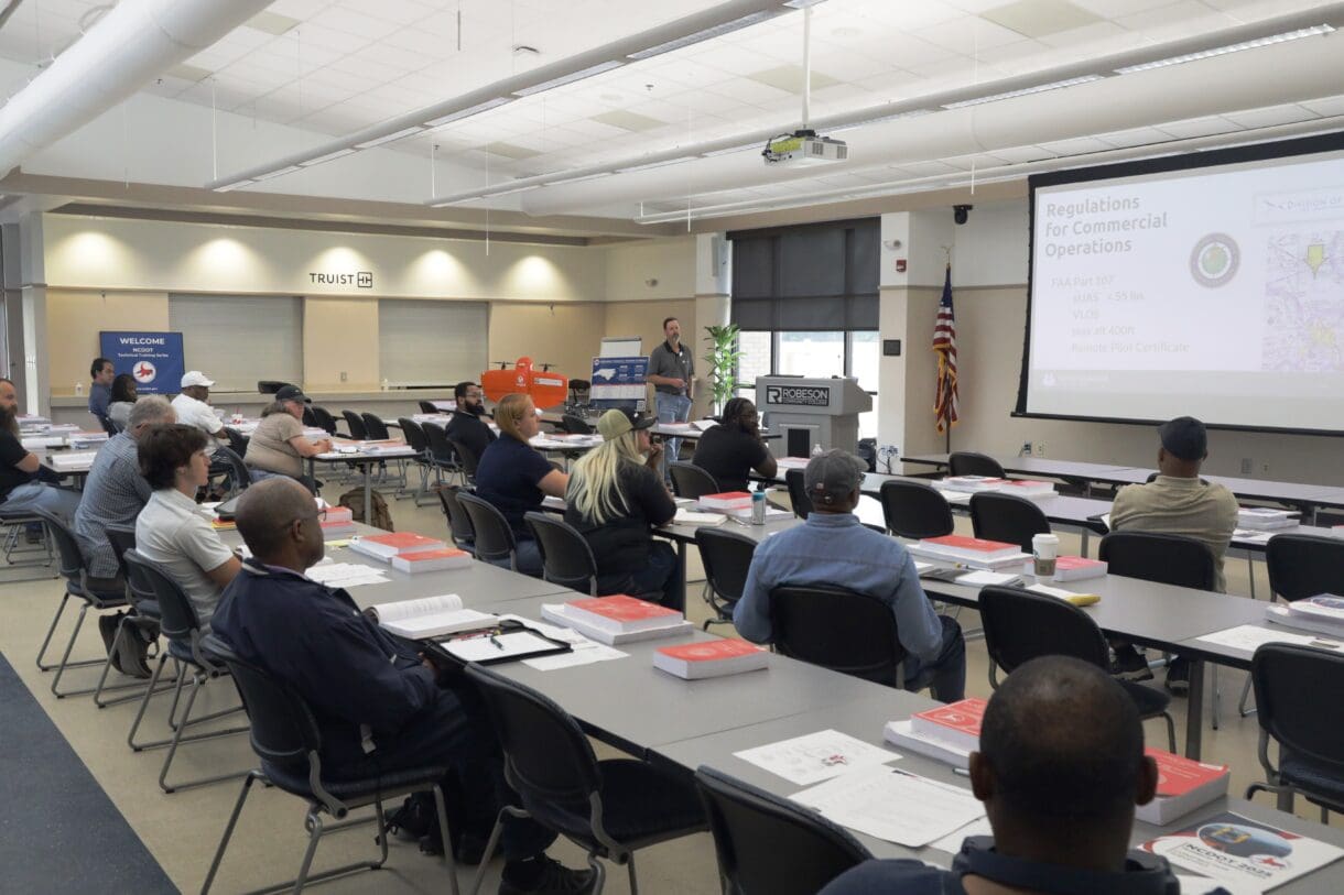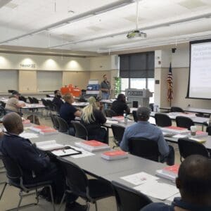
As part of the North Carolina Department of Transportation’s (NCDOT) Technical Training Series, WithersRavenel’s Remote Sensing Group recently assisted with a training session on drones and construction surveying. The event, held at Robeson Community College in Lumberton, NC, was designed to equip small highway construction contractors with the skills and knowledge to confidently engage in NCDOT projects through drone surveying.
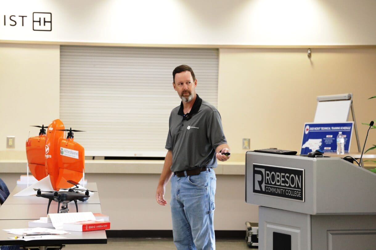
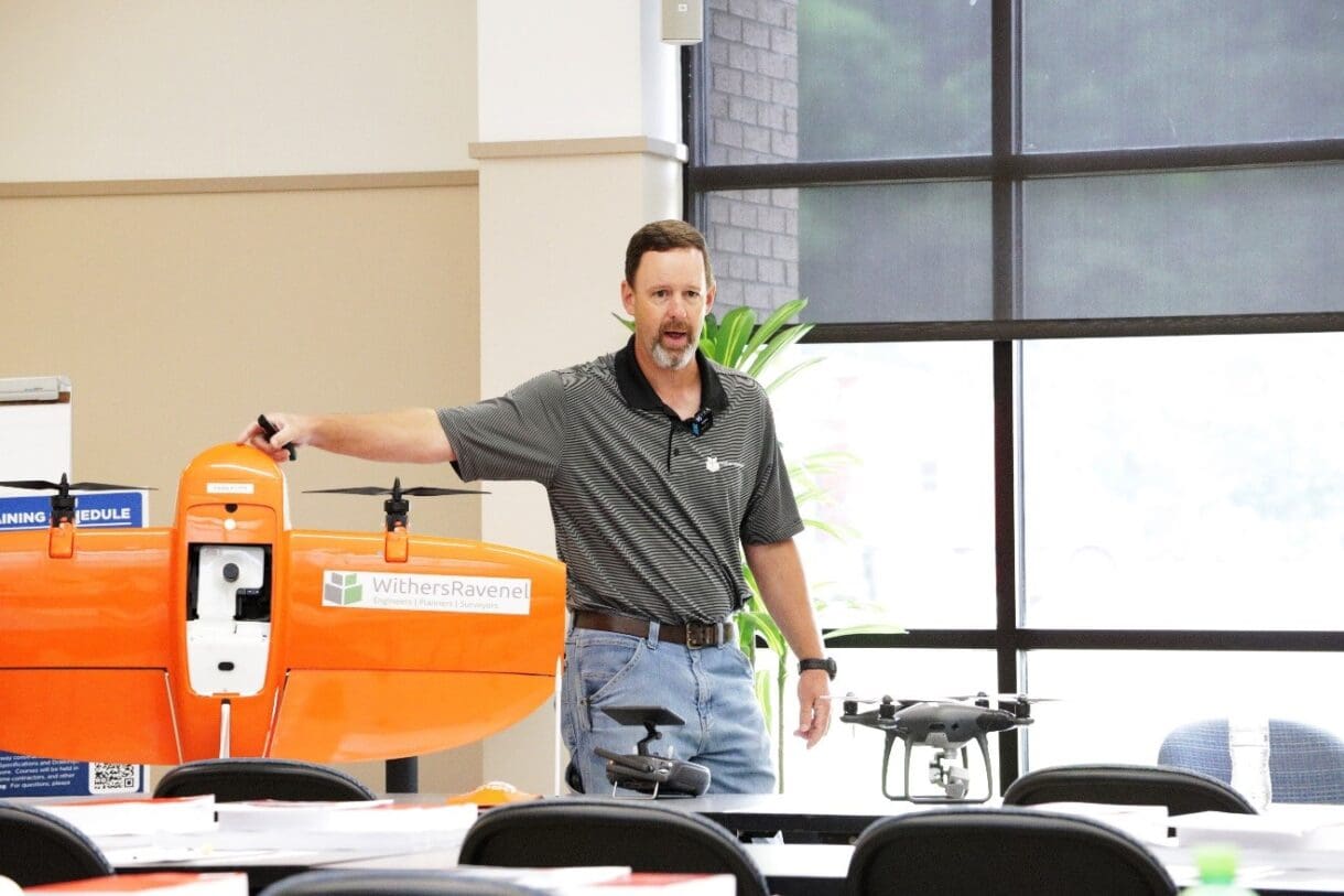
The session focused on how Unmanned Aerial Systems (UAS) are transforming the field of surveying. WithersRavenel’s Remote Sensing Director, Seth Swaim, GISP, PLS, shared real-world applications of drone-based LiDAR and photogrammetry, as well as basic steps of how to become a Part 107 Unmanned Aircraft Pilot.
The audience engaged in thoughtful discussions about safety, data accuracy, and the challenges of operating in difficult terrain. The training underscored WithersRavenel’s commitment to applying technology-based solutions to survey mapping and imaging services. As an early adopter of UAS technology, WithersRavenel continues to invest in the industry by encouraging the gain of knowledge and safe operations, on land, in the air, and even underwater.
As UAS technology becomes increasingly vital to the transportation and construction industries, programs like NCDOT’s Technical Training Series ensure that contractors are prepared to leverage innovative tools with confidence and precision.
Appreciation goes to the organizers of the training series and the other presenters for making these events a success.
*Photos are provided by the NCDOT