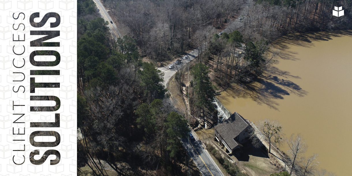
 WithersRavenel used drone-based LiDAR to capture ground conditions around the historic Yates Mill so future traffic improvements could be context-sensitive.
Yates Mill County Park is adjacent to the intersection of Penny Road and Lake Wheeler Road. Both roads carry very high traffic volumes. The North Carolina Department of Transportation (NCDOT) is interested in exploring the possibility of future projects to modify the intersection or the roads themselves. These changes could include widening one or both roadways, changing their alignment, or reconfiguring the intersection geometry.
Because Yates Mill is on the National Register of Historic Places, potential transportation projects must take into consideration surrounding areas and minimize disturbance to any historic structures. During the due diligence portion of the planning process, the NCDOT’s Environmental Analysis Unit (EAU) determined that additional historic structures may lie outside the existing park boundaries.
The EAU reached out to WithersRavenel to conduct a thorough investigation of the surrounding area’s ground conditions. Our Remote Sensing team partnered with the NCDOT’s Aviation Division to establish the site parameters and appropriate technologies for gathering the data the EAU needed.
The target project area was roughly fifty acres, slightly less than one-third of the total park area and centered on the Penny Road/Lake Wheeler Road intersection. Our team chose a combination of drone-based photography and drone-based LiDAR to provide full coverage of the target area.
Our team established survey control at the site prior to scheduling the actual flights. This approach allowed us to collect the aerial photos and LiDAR scans on the same day, rather than splitting those tasks up over multiple days. Flight day went off without a hitch, with little to no disruption to park goers, normal traffic patterns, or nearby residents. EAU Archeologists were on site during the flights to both view the technology and offer additional input for the flight parameters as necessary.
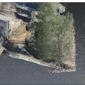
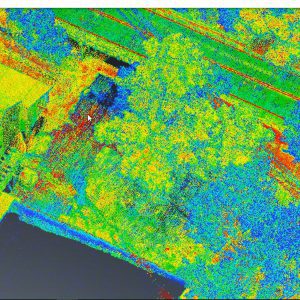
Once field data collection was completed, our Remote Sensing team processed the imagery and LiDAR data into a high-resolution orthomosaic and a full colorized point cloud dataset and presented them to the NCDOT project team. Using Microsoft Teams and screen sharing, the two teams reviewed the data together and identified a ground structure that could have been an additional historic dam.
This interactive and collaborative presentation enabled WithersRavenel to finalize the Yates Mill deliverables in an easy-to-understand format and allowed the NCDOT to flag areas where further investigation is warranted. Using these drone-based technologies to quickly and efficiently capture surrounding ground conditions outside of normal survey limits can be a key factor in allowing design teams to make critical decisions early on in projects.
The next steps in the project are still under review. With this important Wake County intersection being surrounded by the Yates Mill historic site, NC State University property, and multiple private property owners, the project is a great example of NCDOT working with the community for progress.
Could buried, hidden, or historic structures be lurking on your next project site? Our Remote Sensing team can help you uncover your site’s history and prevent surprises that could derail your designs. Whether on land or water, in the air or underground, we have the technology to reveal your site’s secrets and make sure your project has the best chance for success. Contact Karen Shank at (919) 369-0380 or kshank@withersravenel.com or Seth Swaim at (919) 535-5128 or sswaim@withersravenel.com to get started.


