As Hurricane Isaias lashes North Carolina, municipalities face challenges with quickly assessing damages to not only respond to community needs, but also provide information to acquire disaster recovery funding and services.
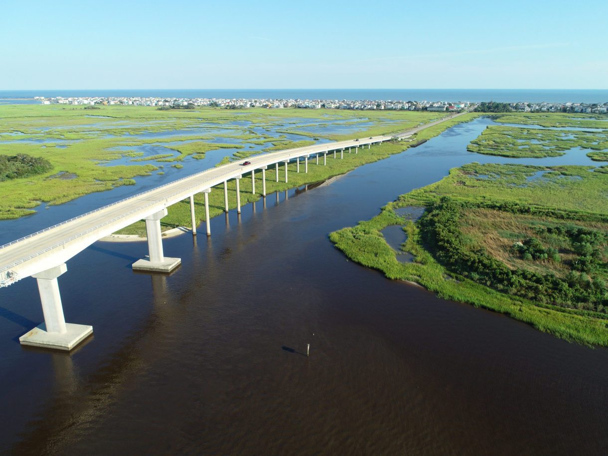
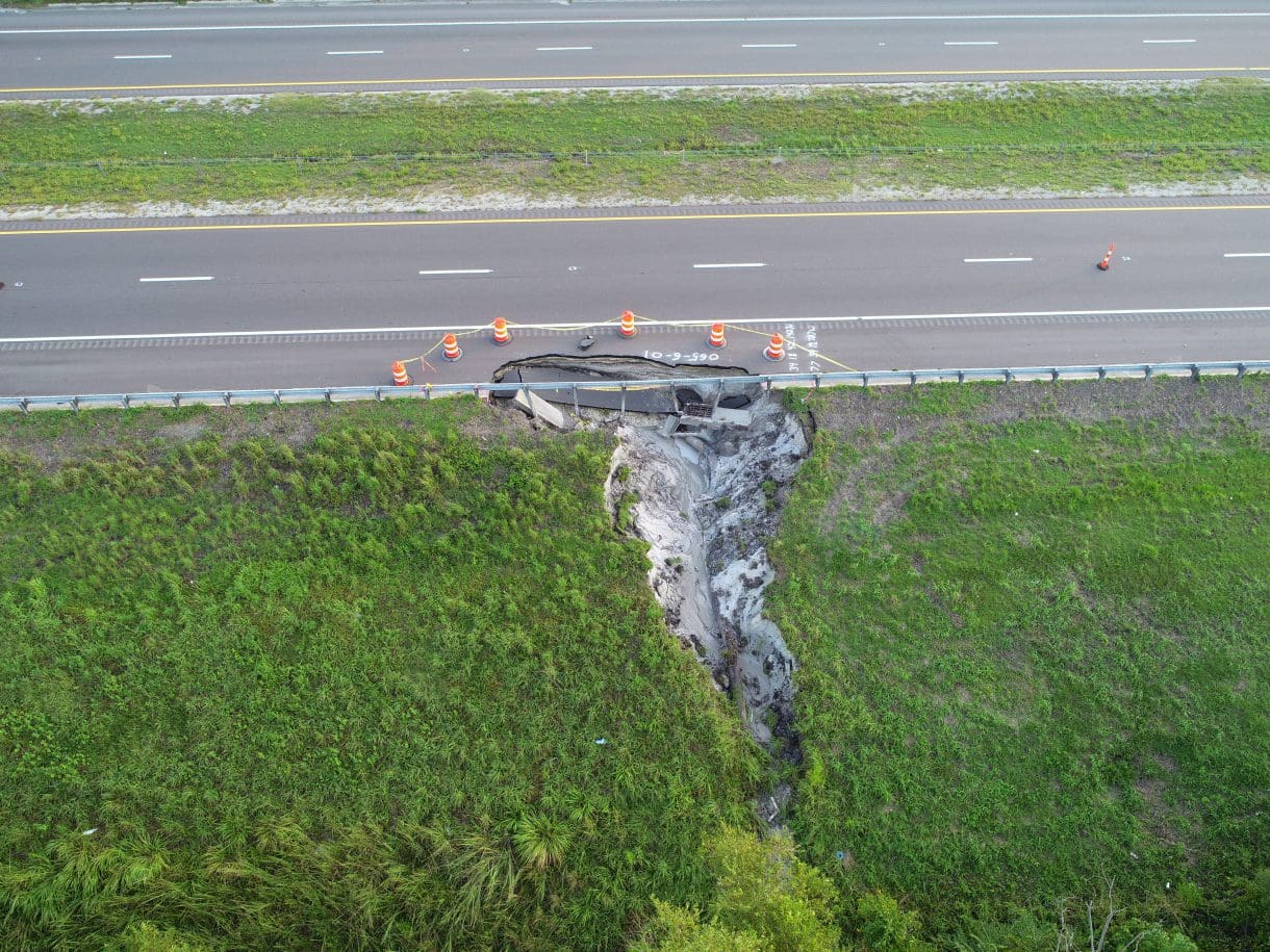
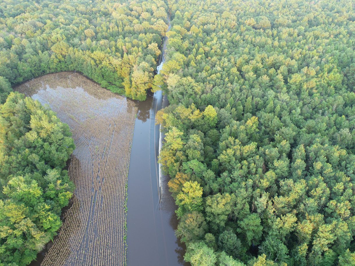
WithersRavenel’s Unmanned Aircraft Systems (UAS, or drones) provide local, regional and state organizations with a valuable assessment tool. As an example, following Hurricane Dorian in 2019, WithersRavenel worked with NCDOT to provide aerial imagery and video of flooding, erosion and other storm effects. Our UAS teams and equipment offer a quick response and real-time visuals that provide perspective often unattainable in the aftermath of a natural disaster. The documentation can also be vital when applying for and guaranteeing emergency response funding from federal and other sources.
Additionally, WithersRavenel can help clients prepare for future hurricanes and significant storms. Our UAS pilots can provide pictures and video in good times, helping to set a baseline for existing conditions. Then, following damaging weather, post-storm visuals can be examined with the originals to provide a site comparison.
In the wake of Hurricane Isaias, WithersRavenel is ready to work for you. For information, contact Remote Sensing Group Director Seth Swaim, PLS, GISP, at (919) 535-5218 or sswaim@withersravenel.com.


