Airports are periodically required by the Federal Aviation Administration (FAA) to conduct Obstruction Evaluation/Airports Airspace Analysis (OE/AAA). This ensures that no hazards exist within the takeoff and landing approach zones at each runway end, maximizing airport safety. In 2024, WithersRavenel’s Remote Sensing team used surveying technologies, including LiDAR. They provided high-resolution, accurate data that assisted Hickory Regional Airport in completing such a study.
By employing aerial mapping, photogrammetry, and LiDAR scanning, remote sensing helps airports identify risks, streamline analysis, and enhance operational safety—all while minimizing disruptions to daily operations.
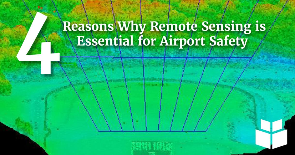
The use of LiDAR and other remote sensing tools used in an OE/AAA study highlights many of the benefits they bring to airport safety.
4 reasons why Remote Sensing improves airport safety
Below are four key reasons why this technology improves airport safety and compliance:
Efficient and Non-Disruptive Operations
Remote sensing technologies, such as LiDAR, enabled rapid data collection over critical airport zones. In the OE/AAA study at Hickory Regional Airport, the Remote Sensing team completed flights over both runway ends in under an hour without interrupting normal airport operations, ensuring efficiency and safety.
Accurate Obstruction Identification
LiDAR technology generated highly detailed point cloud data, allowing for the precise classification and identification of potential obstructions within takeoff and landing clearance zones. This accuracy was essential for ensuring FAA compliance and maintaining safe airport operations.
Streamlined Analysis Process
By using TopoDOT to analyze the LiDAR data, teams efficiently processed and classified obstructions, leading to the faster delivery of actionable insights. This ensured that safety issues were addressed promptly.
Compliance with FAA Requirements
As noted earlier, the FAA mandates OE/AAA studies to ensure safe and compliant operations. Remote sensing technologies allowed airports to meet these requirements effectively by providing comprehensive and reliable data for analysis.
If you would like to learn more about WithersRavenel’s Remote Sensing or Geomatics and Surveying services, view our flipbook for an overview of our offerings.