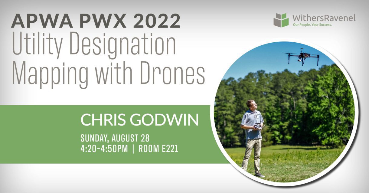
Chris Godwin will be presenting “Utility Designation Mapping with Drones” at APWA PWX in Charlotte, NC, on Sunday, August 28 at 4 PM ET. This 20-minute presentation will help attendees achieve 3 main objectives: recognize opportunities to introduce new methodologies for locating SUE paint marks, modernize traditional project scopes to include aerial imagery on utility projects, and increase efficiency and safety on SUE designation and survey tasks.
If you have been out and about over the past several years you have seen more and more utility paint marks zig-zagging across the developed landscape. Do you know what it takes to put those paint marks down? And more importantly, do you know what it takes to then get those utility paint designations onto a map?
In many cases, those utility marks are a work-in-progress indicator of an engineering design project. Subsurface Utility Engineering (SUE) experts are able to designate the underground utilities with standard APWA colors, of course and then surveyors come behind them to locate and map all of the paint marks. The digital data is then pulled into the engineer’s CAD design plans so they know what other utilities are in the ground and therefore need to be designed around.
The process of locating the SUE paint typically involves a survey crew walking across the painted landscape and surveying each mark with GPS or total station equipment in order to ensure the digital twin will match that of the real world. This process can be tedious, and in most cases requires the surveyors to be working around congested areas or near roadway traffic. Through high-resolution unmanned aerial system (UAS) oblique imagery, FAA drone pilots are able to document most sites through orthomosaics and dense colorized point clouds generated from structure from motion (SfM) softwares such as Pix4D and Agisoft. These software solutions and resulting datasets provide the accurate visualizations to create the digital twin of the paint mark designations.
Chris Godwin is a Remote Sensing Technician with WithersRavenel in Cary, NC, and a licensed FAA Drone Pilot. He is a graduate of UNC-Charlotte’s GIS Program. Chris’s role involves applying his expertise of drone platforms and software packages, and he is equally comfortable performing field operations and office geospatial data processing.
This preview is part of our APWA PWX Speaker Preview series, which highlights the WithersRavenel staff invited to speak at the 2022 American Public Works Association Public Works Expo.
