Subsurface Utility Engineering, or SUE, is an engineering process used to identify, locate, and map underground utilities before construction or infrastructure projects begin. From preventing costly construction delays to improving public safety, SUE plays an essential role in project planning and design across transportation, utility, and development sectors.
By revealing the location and condition of underground infrastructure, such as water and sewer lines, gas pipes, and communication cables, SUE helps engineers, planners, and contractors avoid utility conflicts, reduce the risk of utility strikes, and make informed decisions about design and construction.
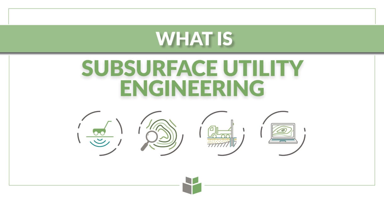
How SUE Works
SUE is typically delivered in four quality levels, D, C, B, and A, based on how data is collected and verified:
- Quality Level D relies on utility records and owner-provided data such as maps, as-builts, and interviews.
- Quality Level C supplements Level D with visual inspection and surveys of above-ground utility indicators like manholes, valve boxes, and meters.
- Quality Level B uses geophysical methods, especially electromagnetic (EM) locating, to physically designate the horizontal position of known conductive utilities like copper wire, coaxial and fiber optic cables, and metallic pipelines.
- Quality Level A, the highest level of accuracy, involves vacuum excavation, which uncovers utilities using high-pressure air and suction to expose them safely and verify their size, depth, and material.
Each level provides an increasing degree of accuracy and confidence, which directly supports better planning and minimizes surprises during construction.
WithersRavenel’s Approach to SUE
At WithersRavenel, our SUE services are designed to support safe, efficient, and informed infrastructure development. Using a combination of advanced technology and proven methods, our in-house team delivers services across all four SUE quality levels.
Advanced Utility Designation
Using electromagnetic equipment and both active (for known utilities) and passive (for unknown utilities) techniques, WithersRavenel can designate conductive subsurface utilities. For non-conductive materials like asbestos concrete, PVC, and reinforced concrete pipe (RCP), we deploy Ground Penetrating Radar (GPR) to locate and map features that can’t be found using EM tools.
Precision Vacuum Excavation
For critical utilities, we offer vacuum excavation using our VacMasters System 1000. This non-destructive method safely exposes buried utilities to confirm depth, size, and location with unmatched accuracy, ideal for reducing risk on high-stakes projects and navigating utility-dense environments.
Specialized Services
In addition to utility designation and excavation, WithersRavenel also offers cemetery mapping, giving clients a complete picture of below-ground features before digging begins.
Why It Matters
Proper utility location through SUE isn’t just a technical step, it’s a safety measure, a cost-saving strategy, and a way to build smarter, more resilient infrastructure. WithersRavenel brings technical expertise, cutting-edge tools, and a commitment to quality that make us a trusted partner for municipalities, DOTs, developers, and contractors throughout the Southeast.