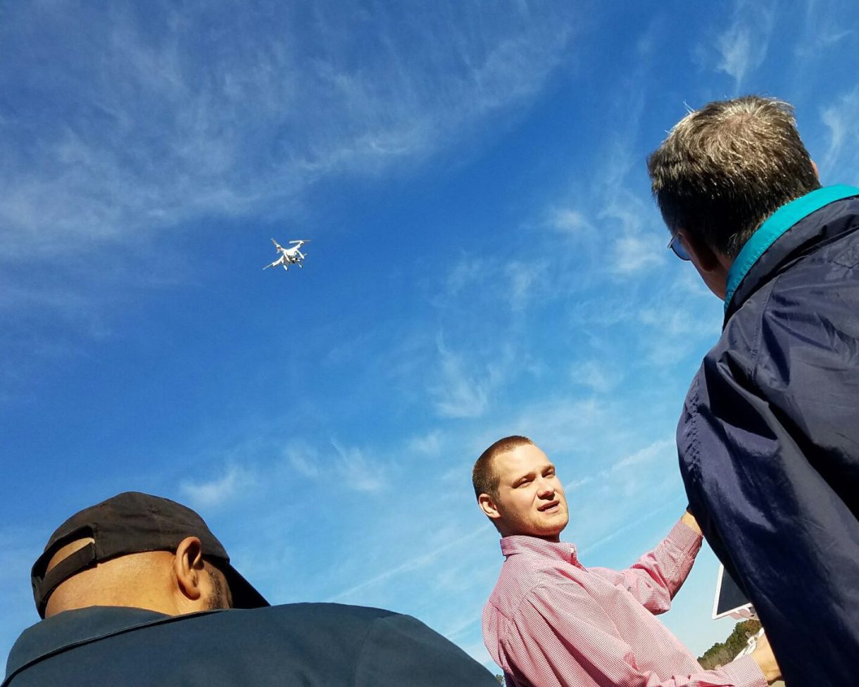
On Thursday, September 28, the NCDOT’s Division of Aviation Unmanned Aerial Systems (UAS) Program Office organized a free workshop for government and commercial drone operators to educate them on the benefits of drones and the steps needed to integrate them into project workflows. The all-day event took place the Cape Fear Community College North Campus in Castle Hayne, near Wilmington, NC. WithersRavenel’s FAA-certified UAS Remote Pilots Seth Swaim and Travis Howell took the mic to discuss “What’s Up with Drones?” In this 45-minute presentation, they touched on the regulations that govern the firm’s work and described the kind of projects where we have integrated drones, including 3D modeling and volumetric calculations.
They also took a deeper look at the work the firm has done for the North Carolina State Ports Authority at the Port of Wilmington and the Port of Morehead City. Using a DJI Matrice 100 and a Phantom 4 Pro, the team was able to obtain updated orthophotography, aerials, and site planimetrics and develop 3D models more quickly, affordably, and safely than conventional aerial photography or land surveying would allow.
Because the Port of Wilmington is the largest area WithersRavenel has flown and mapped to date at approximately 650 acres, the team took several steps to ensure that processing all that data went as smoothly as possible. Our UAS pilots determined launch and landing areas and established flight plans prior to arriving at the Port. We also established survey-grade ground control prior to flying in order to orthorectify the imagery and 3D models during post-processing. Finally, our GIS department worked with Port staff to develop and implement proper data storage and management strategies, empowering the staff with the information they need to make sound decisions.
With such a large project, many attendees were curious whether any of WithersRavenel’s UAS Remote Pilots have had a near miss while flying. We are proud to report that we have had no incidents, due in large part to the fact that we use a “buddy system” when working on large projects or in areas where there is a possibility of manned aircraft entering adjacent airspace. The pilot is responsible for keeping their eyes on the UAS at all times, in accordance with line-of-sight regulations, and ensure flight logistics occur as planned. A visual observer supports the pilot by monitoring the project site and identifying any obstacles that may present themselves, including stationary objects, large birds, low-flying helicopters, or private planes. When more than one person on site understands airspace regulations and can assist flight operations, overall safety and the quality of deliverables improve.
Other presenters summarized the changes in federal and state regulations and described other practical applications of drones, including emergency response efforts, data management, and safety efforts. About 150 people attended the event, the third in a series of workshops the NCDOT is hosting across the state. The next event is scheduled for Thursday, October 12, in Thomasville. The NCDOT is also planning a larger, two-day event in Raleigh early 2018 as the culmination of the series. We hope to see you there!
