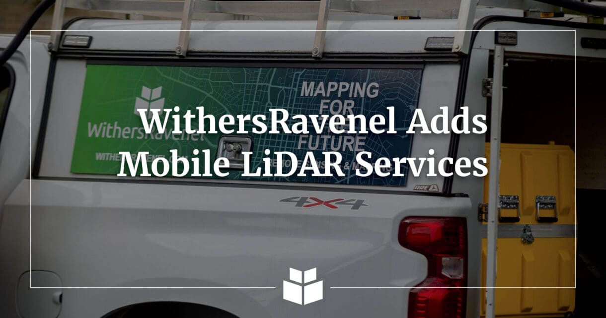
We’re excited to announce the launch of our Mobile LiDAR surveying service – a cutting-edge addition to WithersRavenel’s Geomatics toolkit.
Using a Trimble MX60 mobile mapping system mounted to a vehicle, our team can now rapidly collect high-accuracy topographic and survey data by simply driving through project areas. This service complements our existing Aerial and Terrestrial LiDAR capabilities, giving clients more versatility on a wide range of project types, including:
- Roadway Mapping and Design
- Airport Runway & Taxiway Surveys
- Asset Inventory
- Utilities and Right of Way Mapping
- Disaster Response and Recovery
Whether it’s a single road or a network of streets, Mobile LiDAR allows us to efficiently capture dense, georeferenced point cloud data safely and accurately.
WithersRavenel’s Chris Godwin, an FAA-certified pilot and geomatics professional, said the new Mobile LiDAR technology offers numerous advantages. For starters, safety risks are considerably lower by minimizing our survey crews’ time on or near active roadways. Additionally, Chris talked about the accuracy and speed of the data being collected.
“Mobile LiDAR will allow us to collect highly accurate survey data in a fraction of the time it would take using traditional methods,” Chris said. “It’s a game-changer for large or linear projects where speed, precision, and safety all matter.”
Project stakeholders will gain a deeper level of insight with the use of Mobile LiDAR technology. The Trimble MX60 sensor creates a highly detailed digital twin of the surrounding environment by capturing both high-resolution LiDAR data and 360° imagery. This comprehensive, remotely sensed dataset offers valuable context for planning and design, especially for roadway projects where accurate representation of surface features, utilities, and surrounding infrastructure is essential. The combination of precise spatial data and visual reference empowers designers and engineers to make more informed decisions throughout the project lifecycle.
WithersRavenel crews have been integrating the new technology into their work over the past month, Chris said. He’s excited about its potential to enhance a variety of projects, especially those focused on roadways, airports, and asset management, and expects even more opportunities to apply it in the future.
Do you want to start a discussion about our new Mobile LiDAR services and the opportunities for your next project? Reach out to Seth Swaim or Chris Godwin at sswaim@withersravenel.com or cgodwin@withersravenel.com.
