Land Surveying, Aerial Surveying, Subsurface Utility Engineering & Geomatics
Accuracy in land surveying
An accurate site survey is an important foundation for a range of development projects. WithersRavenel combines conventional surveying, depth of staffing, and state-of-the-art equipment to provide accurate results.
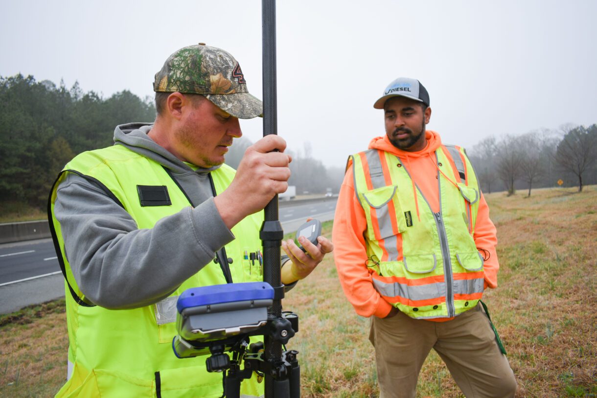
Our firm has a robust team of Professional Land Surveyors and associated field crews on staff. WithersRavenel outfits survey crews with electronic and robotic Total Station equipment that follow strict quality and calibration regimens.
Leveraging technology to save money
Gone are the days of selecting a single survey method that might provide too much or too little data. WithersRavenel picks from traditional and modern survey tools. We tailor our approach to fit your budget and decision-making needs. You get exactly the information you need at a cost you can afford to make your project a success.
Capturing large datasets in more detail and less time
Boots on the ground will always be part of our business, but sometimes the best solution is an eye in the sky. Our aerial surveying experts use drones with sensors to survey properties faster than traditional methods. Drones can be used for photography, photogrammetry, multi-spectral imaging, thermal imaging, and laser scanning. This is useful for large sites and corridors.
Aerial surveying for safety and speed
Not all sites are created equal, and site accessibility can pose significant challenges to both data collection and safety. Using remote sensing technology, WithersRavenel collects high-quality data in confined spaces, busy traffic corridors, and other hazardous environments. Minimizing contact between field crews and the public reduces the risk of accidents and keeps projects on track.
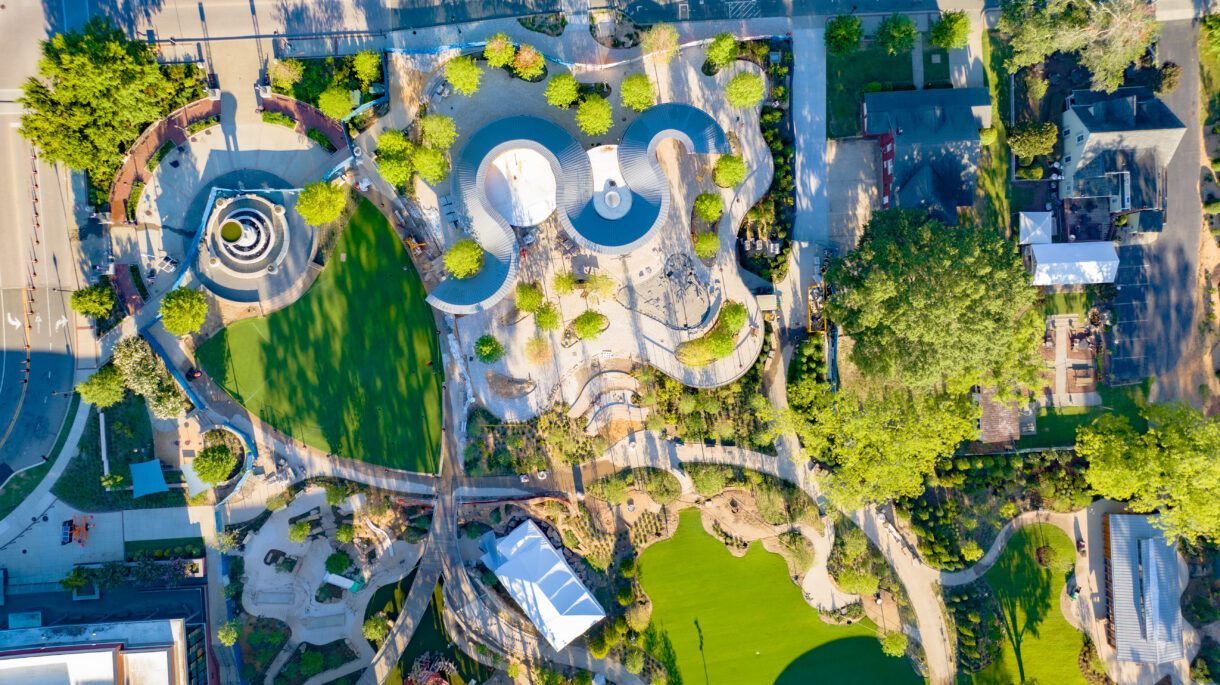
Case Study
-
- Client
- Town of Cary, NC
-
- Project Location
- Cary, NC
WithersRavenel completed Downtown Cary Park. They worked closely with the famous firm OJB Landscape Architecture and the Town of Cary. Innovative Stormwater Management: Downtown Cary Park features a 1-acre water amenity that doubles as a flood protection
View Project DetailsLet's Connect!