Map mavens. Geography geeks. Data divers. Spatial sleuths. There are many ways to describe WithersRavenel’s GIS team and the diverse skillsets of its members. To celebrate GIS Day 2021, we uncovered some information about what Geographic Information Systems (GIS) is all about, and the people who make it possible here at WithersRavenel.
Here’s what our team members had to say.
What made you want to become a GIS professional?
Justin Richardson, GIS Technician:
A friend showed me everything that you can do in ArcMap panning around aerial imagery and doing really interesting thematic maps and valuable spatial analysis¦as a fan of maps and environmental planning, I was sold!
Tesla Hausman, GIS Technician:
A chance to process and visualize large amounts of data to better understand what it going on in the world .
Bryce Gardner, GIS Technician:
I wanted to make maps of areas larger than site and development surveys.
Mark Smith, GIS Project Manager:
I became interested in GIS while working at a previous job. We were in dire need of maps to show the general public how to access parts of the park I was working at. While I tried my best to create a map,it was crude¦I wanted to pursue my interest in making better maps. As I researched the topic, I learned not only is GIS a great cartographic tool, but its true strength is in combining multiple datasets and performing spatial analysis.
Lindsay Thomas, Geomatics Project Manager:
I have always loved maps. My dad taught me how to read hiking and road maps at a very young age. We used to compete in Orienteering Events when I was a kid. My undergrad degree was in Earth Sciences and I read about a GIS class in our course book. I figured that would be useful for science and research, so I took a prerequisite cartography class, and I was hooked.
Brandon Inscore, Director of GIS Group:
The ability to use computer software to visualize complex spatial relationships and solve real-world problems. Through my experience as a GIS professional I have had the opportunity to do this as a public servant in my local community and for the communities our company serves across North Carolina.
What is the coolest thing about GIS?
Justin:
3D maps are very cool!
Tesla:
The sheer number of types of maps you can make, you can map ANYTHING!
Bryce:
Its ability to transfer knowledge in a clear and concise way.
Mark:
From 3D visualization, image classification, groundwater modeling, and so much more. Even with all its astonishing functions, I still find it amazing to be able to overlay so many different data layers. This simple power will always speak volumes to me.
Lindsay:
It is used in so many industries. No matter your interests, if there is a spatial component, you can use GIS. Which means even in our group, we work on a very wide range of projects.
Brandon:
Being able to create a visual representation of the real world.
What advice do you have for those just starting out, or trying to get into GIS?
Justin:
Computer courses to build up familiarity with a PC. It’s very helpful to know your way around Windows.
Tesla:
ArcGIS online is a great tool to start learning the ESRI technology – GIS has applications in so many different occupations that finding what you’re passionate about, and then figuring out how you can map it, is a good place to start.
Bryce:
ArcGIS Pro is the way of the future. You can get a free license if you join Learn ArcGIS here: https://learn.arcgis.com/en/become-a-member/ then sign in here: https://learn.arcgis.com/en/arcgis-pro-for-learn-members/
Mark:
I would make sure you fully understand the basics of GIS. It’s easy to overlay layers and create a map, but it’s more important to understand the who, what, where, and why of GIS. Topics such as spatial projections, data management, and calculations are important subject areas to learn.
Lindsay:
Learning newer technology, as it is always changing. And learn how to make a good-looking map. Cartography is just as important as the data creation and technology.
Brandon:
The number one focus should be on solving a problem and making the lives of those you work for easier through your work. While it is essential you know what tools are available and how to use them, if you fail to solve the essential problems or create value, you will not be successful.
What is the next best thing that excites you after GIS?
Justin:
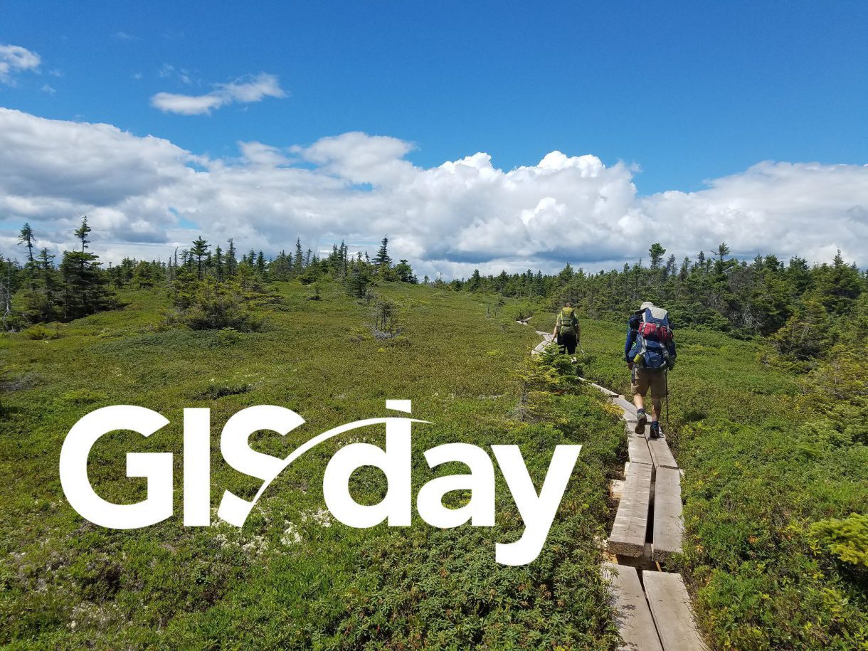
Backpacking! I backpacked the entire Appalachian Trail in 2016. Now I want to make a map that shows where I went!
Tesla:
Historical cartography.

Bryce:
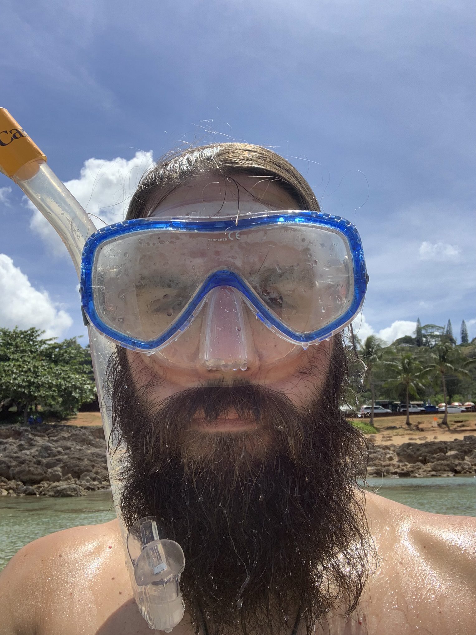
I’m getting Scuba certified!

Mark:
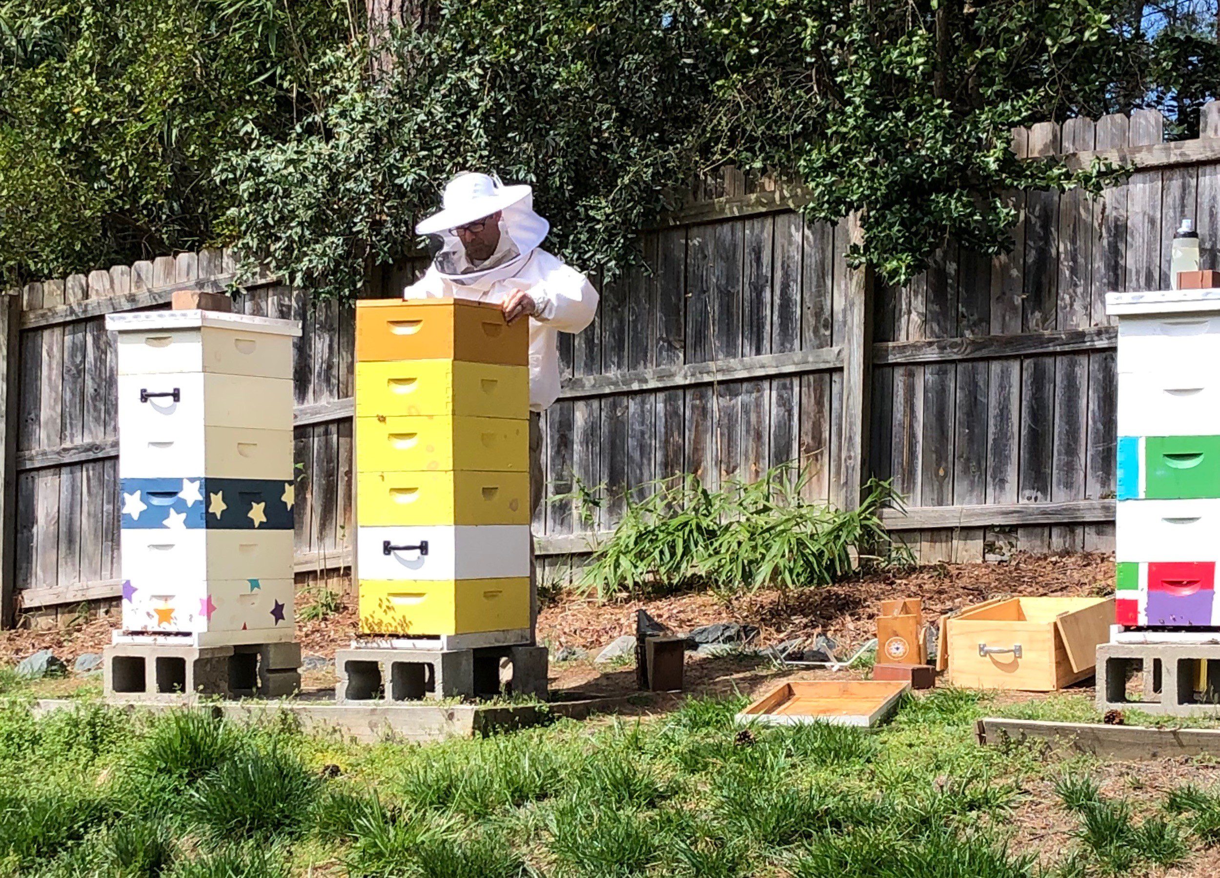
I’ve been beekeeping for five years now. There is always something new happening with bees. Even though we have been keeping bees for thousands of years, we are really only learning about them.
Lindsay:
My family, and volunteering and raising awareness with the American Heart Association of NC.
Brandon:
Teaching. I started my career as an educator, and I am a life-long learner. I love teaching, training, coaching, mentoring, and helping others be successful.
