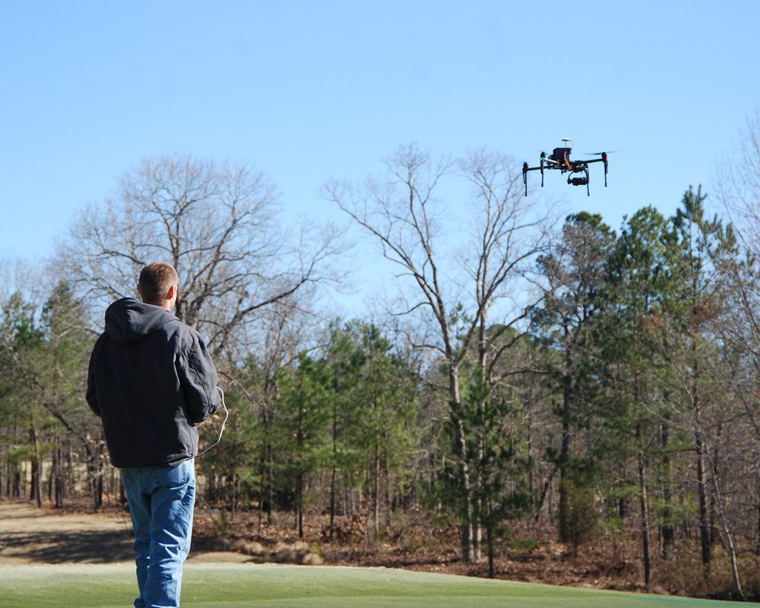
Given the years of education and experience necessary to become a licensed surveyor, it is no surprise organizations would prefer to train a surveyor to be a remote pilot versus training a remote pilot to be a surveyor. The North Carolina Department of Transportation Division of Aviation is partnering with the North Carolina Society of Engineers to present a workshop on the fundamentals of drone operation for surveyors. WithersRavenel Technology Manager Seth Swaim and GIS Technician Travis Howell both of whom are FAA-certified remote pilots are among the industry professionals invited to speak about geospatial positioning, accuracy assessment, image and LiDAR data processing, and high-precision mapping.
Seth works WithersRavenel Geomatics Department to research, develop, and implement technology-based solutions that lead to high-quality and valuable deliverables for the firm’s public and private clients. He actively develops solutions using unmanned aircraft systems (UAS), including surveying, GIS, mapping, photogrammetry, and aerial LiDAR. Training is another key aspect of his role: he is responsible for teaching both WithersRavenel and client personnel how to read, understand, and make informed decisions using the data gleaned from UAS.
Travis specializes in UAS legality, flight logistics, orthophoto/surface model generation, ArcGIS 3D modeling, and LiDAR data interpretation. His fieldwork consists of UAS remote sensing data collection and GPS/GNSS feature location. He is well-versed in ArcGIS Pro and multiple structures from motion (SfM) programs for UAS photogrammetry and 3D modeling.
The workshop is part of the Otis A. James Educational Institute, an educational program typically offered every two years by the North Carolina Society of Surveyors. This year the institute will be held October 31-November 2 at the Jane S. McKimmon Conference and Training Center at NC State University in Raleigh, NC.
