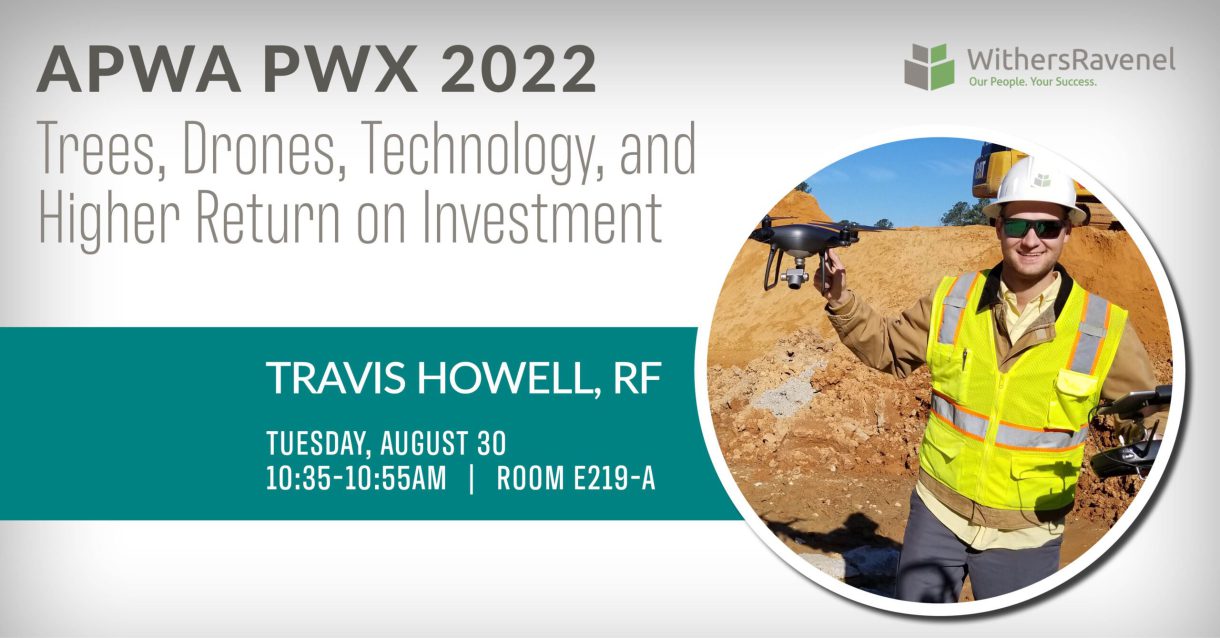
Travis Howell will be presenting “Trees, Drones, Technology, and Higher Return on Investment” at APWA PWX in Charlotte, NC, on Tuesday, August 30 at 10:35 AM ET. This 20-minute presentation will help attendees achieve 3 main objectives: compare and contrast where new technology could be used on green spaces, challenge traditional methodologies and long schedules, and design project scopes and UDO requirements that allow the use of newer and proven technologies in forestry management.
With urban land development comes mixed emotions around land clearing and deforestation. As municipalities and suburbs grow, the available natural, undisturbed land becomes much more valuable and therefore protected through Unified Development Ordinances (UDO) or Tree Conservation Areas (TCA). Urban forestry then becomes a real consideration, and Registered Foresters and Certified Arborists are just the experts to find solutions and execute action plans to manage how development affects our natural areas and advise on future best practices. After all, prioritizing sustainable urban forestry and helping municipalities grow with more “green” development should be on everyone’s agenda.
To do this, some tree experts have embraced new technologies to better map the existing landscape, and seamlessly communicate and visualize their solutions to all involved. Tree inventories, champion tree assessments, natural buffers, basal area calculations, deformation, and hazardous tree assessments are all part of what Foresters and Arborists specialize in when it comes to urban development. Applying some existing and new technologies to the same old tasks can paint a whole new picture that can then lead to informative decisions.
For instance, using a Leica BLK 360 terrestrial HD laser scanner to digitally cloneacres of natural landscape in colorized 3D point clouds for computer visualization. Utilizing geospatial software, we can design utility construction around our existing vegetation and allow for minimal impact on existing critical root zones when applicable. Additionally, the ArcGIS collector app and associated GIS data management software can help spatially define areas that need inventory while navigating difficult sites.
Applications that record not only tree characteristics, but also interactive high-resolution panoramas and spatial location information, can lead to a library of knowledge to ensure proper decisions are made to value our natural landscape.
Travis Howell is a Remote Sensing Project Manager at WithersRavenel and resides in Garner, NC. He holds both a Bachelor and Master of Science in Forest Management from NC State University and is currently working on his Forestry PhD with the Wolfpack as well. He has been a licensed NC and SC Registered Forester for several years and strives to merge new technology such as GPS, UAS/TLS LiDAR, and UAS Photogrammetry with forest management.
This preview is part of our APWA PWX Speaker Preview series, which highlights the WithersRavenel staff invited to speak at the 2022 American Public Works Association Public Works Expo.
