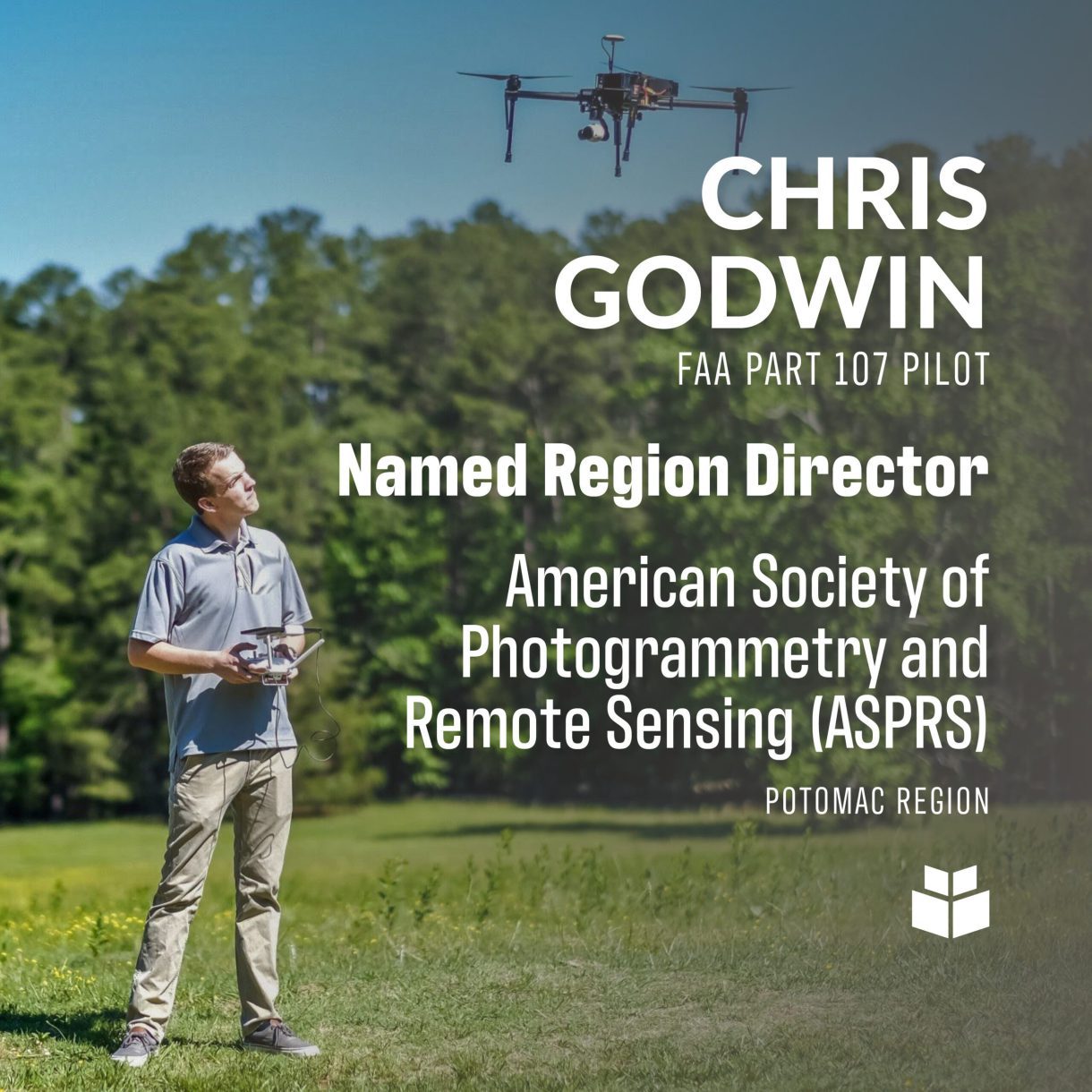
A remote sensing technician at WithersRavenel will be expanding his workload to include service to a professional organization.
Chris Godwin, FAA Part 107 Pilot, is the new Region Director for the American Society of Photogrammetry and Remote Sensing (ASPRS) Potomac Region. The region includes the states of North Carolina, Virginia, Maryland, Delaware, the District of Columbia, and select counties in West Virginia and Pennsylvania.
While Chris says he is still getting a feel for the position, he will be working with ASPRS members and board members to advance knowledge in the field of remote sensing, particularly by sharing information and bringing together other professionals in the geospatial field.
We plan to organize activities like local networking events, to meet other professionals doing what you’re doing,Chris said. We are also brainstorming different webinars with geospatial subject matter experts to speak to the members of the ASPRS region.”
Coming out of a slow period for the group due to COVID, Chris said that ASPRS is hoping to pick back up and increase involvement with the region.
For Chris, involvement with ASPRS began while he was in college. As the main professional organization for people in GIS, photogrammetry and remote sensing, the group attracts technical experts in a variety of roles. It was really helpful coming out of school to be part of an organization to network in my field of study,he said.
Like any professional organization, ASPRS provides its members with the opportunity to get involved, including in the North Carolina chapter. ASPRS also promotes responsible applications of remote sensing while, as a national organization, they have been able to set data and accuracy standards for professionals to adhere to in the geospatial data field.
Here at WithersRavenel, Chris is primarily a UAS pilot. He organizes projects and figures out how they will be carried out, then executes the fieldwork and brings back the valuable data. He also has experience on the data processing side of the job as well – within our growing Remote Sensing team, Chris says they need to be able to wear a lot of hats to ensure the right information is collected and processed in an efficient and timely manner.”
The remote sensing team’s work is valuable to the many engineering and land development projects at WithersRavenel. Of particular value is the ability of the team to accomplish survey projects quickly, often saving clients time and money while gathering large amounts of data. Additionally, remote sensing can be accomplished in areas with active roadways or unsafe environments, keeping workers out of potentially dangerous situations.
You see a drone flying over, but you don’t imagine this 3-D model that can be created and the different things you can extract from that data and how rich it is,Chris said. And it’s getting better all the time. Like phones, the technology is getting more compact while simultaneously collecting more information than ever before”
And in this high-tech and ever-evolving field, being a part of a group like ASPRS has great value.
With all the new technology and information in remote sensing, sometimes the best thing to do is to talk to someone with the experience. That is one of the big benefits of ASPRS, to be able to connect with other professionals in the field.”
Chris is a graduate of the University of North Carolina at Charlotte with a degree in Geographic Information Systems (GIS). He is a licensed FAA Part 107 Pilot, and also a Level I Certified Infrared Thermographer.
Chris and his wife, Caroline, have a one-year-old daughter, Grace. In his free time, Chris enjoys playing mandolin and fly-fishing.
Do you have a project that would benefit from WithersRavenel’s remote sensing services? You can reach out to Remote Sensing Group Director Seth Swaim, PLS, GISP, FAA Part 107 Pilot, at (919) 535-5128 or sswaim@withersravenel.com.
