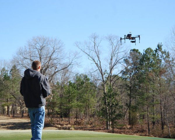
Drone technology is helping reshape how data is collected across the AEC industry, but the real value comes from more than simply getting airborne. In a recent episode of Do You Know Drones?, Aaron Varnau of WithersRavenel discussed why a survey-first approach leads to stronger results in the field: train surveyors to fly, rather than training pilots to survey.
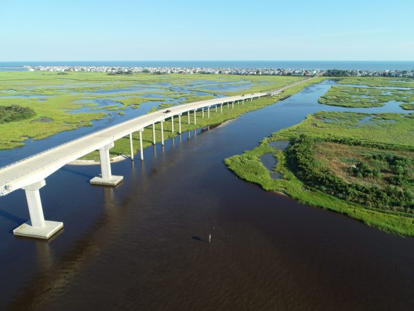
That mindset reflects how WithersRavenel approaches remote sensing as a whole, collecting high-quality data quickly and safely, even in challenging environments. Remote sensing is not just about capturing images from above. It is about mapping and imaging on land, in the air, and underwater, then turning that information into accurate, trustworthy deliverables.
By combining technologies such as aerial mapping, LiDAR, photogrammetry, and subsurface investigations, teams can better understand how visible and invisible infrastructure interact across a site.
Aaron’s conversation also highlighted the importance of start-to-finish service, standardized workflows, and multidisciplinary training. Whether supporting a single property, a corridor, or an entire community, the goal is the same: deliver accurate data efficiently, reduce rework, and provide clients with information they can confidently use in CAD, GIS, design, and decision-making.