
Delivering Resilient Infrastructure Solutions for State Agencies
WithersRavenel brings engineering, environmental, surveying, and infrastructure expertise together under one roof. Our teams coordinate across disciplines, communicate clearly, and provide data-backed recommendations that help agencies make informed decisions.
From early investigation through project delivery, we focus on practical solutions that respect budgets, manage risk, and support infrastructure built to last.
What Sets Us Apart

A high standard of care statewide

Data-backed recommendations for informed decision-making

A deep bench of certified and qualified experts
An NCDOT consultant rate score of 4.25 out of 5
State Agency Capabilities:
- Coastal management
- Solid waste
- Dams
- Subsurface utility engineering
- Data acquisition
- Surveying
- Mobile LiDAR
- Storage tank removal
- Remedial action
- Unmanned aerial survey

Download Our State and Federal Capability Statement
WithersRavenel supports state, federal, and Tribal agencies with engineering, environmental, surveying, GIS, UAS, and construction administration services across North Carolina and the Southeast. Our capability statement provides a quick overview of our core competencies, registrations, agency experience, and points of contact for public-sector work.
Our Services
Full Suite of Services


Featured Projects
Moore County sought to improve and expand its solid waste collection site in Aberdeen, the busiest of its household waste disposal and recycling sites. For the project, the County required design services while seeking improvements in traffic congestion along the commercial scale house and the residential drop-off located along NCDOT-maintained Turning Leaf Way.

In the aftermath of Hurricane Helene, WithersRavenel and NCDOT quickly assessed damage caused by flooding and landslides in the Chimney Rock and Bat Cave areas. They established survey control networks and performed additional surveys to support emergency roadway design.
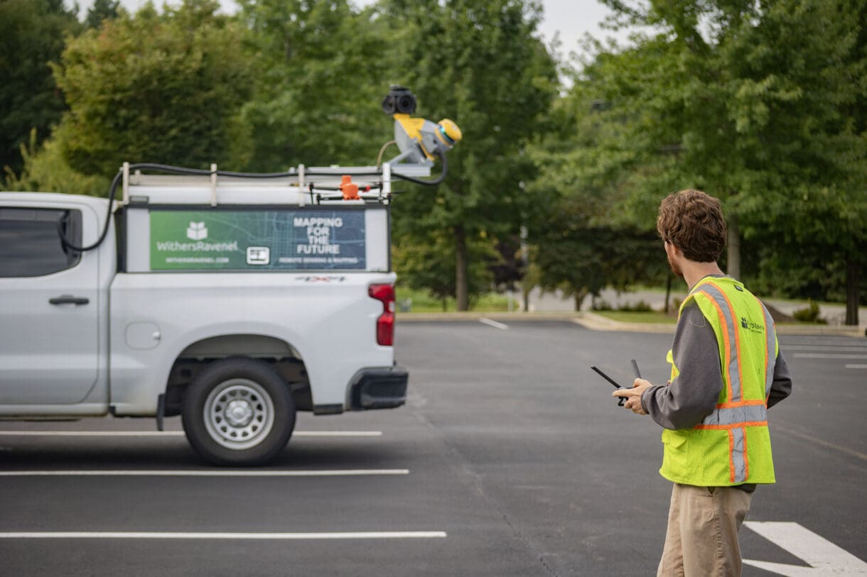
UAS teams mapped over 4 miles of affected areas using orthomosaic imagery and LiDAR, despite challenges like inaccessible locations and nonexistent roadways. This mapping included corridors like NC-9 and US-64.


At WithersRavenel, we design the places and supporting infrastructure to enhance people’s health, happiness, and well-being. By matching our clients’ vision with multi-disciplinary expertise and a deep well of experience, we help safeguard natural resources, deliver critical utilities, create attractive spaces for recreation and commerce, and drive economic development through planned land use.



Let’s Connect
Bring your next project to our team. Contact Tim Bowes, PLS, Senior Delivery Officer, to discuss your agency’s needs.
