Wight sets eye on the sky in new director role
WithersRavenel is pleased to congratulate Marshall Wight on his promotion to Remote Sensing Group Director within our Geomatics team.
Marshall will lead and continue to advance WithersRavenel’s remote sensing and surveying services. This service line is a critical part of delivering accurate, efficient, data-driven infrastructure and land development projects.
As projects grow more complex, capturing high-quality data on land, in the air, and on water is essential. It helps improve decisions, reduce risk, and speed up project delivery.
About Marshall
Marshall brings more than 30 years of industry experience and has been with WithersRavenel for more than 10 years. Based in our Asheville office, he will lead remote sensing efforts and support teams across the Southeast on a wide range of projects.
He has a strong foundation in both conventional surveying and advanced remote sensing technologies. As a surveyor and project manager, Marshall has wide experience with boundary and topographic surveys. He also completes bathymetric surveys, as-built documentation, monitoring, and mapping for many project types.
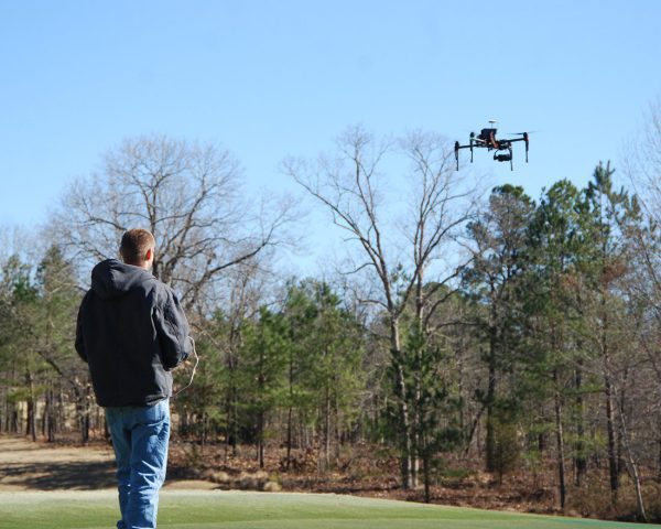
His expertise includes high-definition 3D laser scanning, unmanned aerial systems (UAS), flight planning, 3D modeling, and orthophotography and surface model generation. By combining aerial, terrestrial, and subsurface data collection methods, Marshall helps deliver a more complete and accurate understanding of project sites, no matter the terrain or complexity.
What does WithersRavenel’s remote sensing services provide?
WithersRavenel’s remote sensing services provide start-to-finish solutions for projects of all sizes, from single parcels to large-scale corridors and community-wide initiatives. Leveraging technologies such as LiDAR and state-of-the-art survey equipment, the team is able to capture detailed data quickly and safely, supporting everything from design and planning to construction and long-term asset management.
As Remote Sensing Group Director, Marshall’s leadership will further strengthen the firm’s ability to integrate innovative technologies with proven surveying practices. The result is delivering precise, reliable data that forms the foundation of successful projects.
Interested in learning how WithersRavenel’s remote sensing and surveying services can support your next project? Connect with Marshall and our Geomatics team to get started.