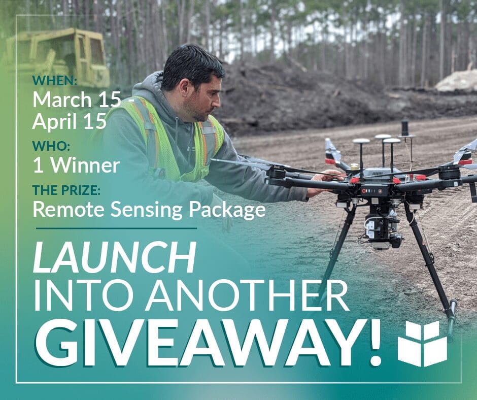
Drones flying in the sky seem like all fun and games. But at WithersRavenel, when we’re flying, we’re hard at work. And now, we would like to put our remote sensing team, specifically our aerial services, to work for you.
WithersRavenel is giving away a LiDAR (Light Detection and Ranging) or aerial imagery package utilizing our drone equipment. Simply fill out the form here between March 15 and April 15. To be considered for the remote sensing award, your site must be a maximum of 20 acres (LiDAR) or 50 acres (imagery), and the work cannot be time-sensitive. We’ll select a winner from the entries received and announce the winner on April 30.
Do you need to put WithersRavenel’s remote sensing services to work for you? Or want to discuss a current project? Contact Karen Shank, Client Officer for Remote Sensing, LiDAR, at (919) 369-0380 or kshank@withersravenel.com
