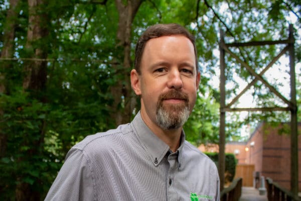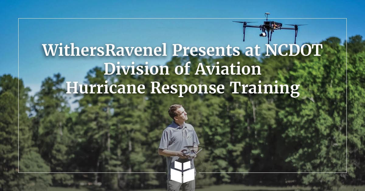
WithersRavenel’s Aaron Varnau, Remote Sensing Field Coordinator, and Chris Godwin, PLS, Remote Sensing Technical Lead, recently presented at the 2026 NCDOT Division of Aviation Hurricane Response Training, sharing real-world lessons from the firm’s Unmanned Aircraft Systems (UAS) operations following Hurricane Helene.
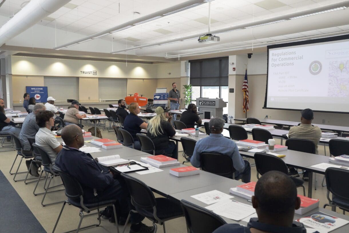
Hosted by the NCDOT Division of Aviation on June 3 and 4 at the Central Carolina Community College Public Safety Training Center in Sanford, NC, the two-day training brought together nearly 200 participants from state agencies, local governments, emergency management organizations, public safety departments, and industry partners from across North Carolina.
The training focused on preparing UAS pilots and response teams to safely and effectively use drones and other emerging technologies during hurricane response operations. Attendees participated in classroom instruction, operational discussions, and hands-on demonstrations designed to improve coordination, situational awareness, damage assessment capabilities, and overall disaster response readiness for communities throughout North Carolina.
“Training opportunities like this are important because they give pilots, agencies, and response partners a chance to talk through real-world challenges before they happen,” said Varnau. “After Hurricane Helene, our team saw firsthand how valuable UAS, remote sensing, and clear field procedures can be when access is limited and decisions need to be made quickly. Chris and I wanted to share what worked for us, what we learned in the field, and how those lessons can help others be better prepared for similar events across North Carolina.”
Applying Hurricane Helene Lessons to North Carolina’s Coast
During their presentation, Varnau and Godwin focused on the tools, procedures, and field practices that proved most useful during WithersRavenel’s on-demand aerial systems operations after Hurricane Helene. Their discussion also explored how those lessons can be adapted to hurricane response along North Carolina’s coast, where flooding, storm surge, roadway washouts, debris, utility impacts, shoreline changes, and rapidly changing site conditions can create challenges for local governments, state agencies, and emergency response teams.
The presentation drew from WithersRavenel’s work on the NCDOT Hurricane Helene UAS Response in Chimney Rock and Bat Cave, NC. In the aftermath of Helene, WithersRavenel partnered with NCDOT to assess flood and landslide damage in some of Western North Carolina’s hardest-hit areas. Working on an expedited timeline, Remote Sensing crews deployed quickly to begin survey work and provide data that supported emergency roadway design.

As part of that response, WithersRavenel’s UAS team mapped nearly 10 miles of affected terrain using drone-based orthomosaic imagery and LiDAR. The mapped corridors included NC-9 from Bat Cave north to the Buncombe County line and US-64, also known as US-74 ALT, from Bat Cave east to Chimney Rock. Conventional control and property surveys were also completed along the NC-9 corridor to support the design engineer and maintain consistency in NCDOT deliverables.
The project presented significant field challenges. More than one mile of roadway was nonexistent due to extensive flooding, and survey control and flight takeoff locations were difficult to access. In these conditions, UAS operations, drone surveying, and remote sensing technology helped teams safely and efficiently collect data in areas that were otherwise difficult or impossible to reach.
The data collected helped road design and rebuilding begin in some of the region’s most damaged areas. Additional LiDAR surveys were completed to support analysis of new stream alignments along Grassy Creek, Hickory Creek, Reedy Patch Creek, and the Broad River, helping NCDOT study erosion and hydrology impacts from the storm.
Remote Sensing for Disaster Response and Recovery
WithersRavenel’s Remote Sensing team provides mapping and imaging services on land, in the air, and underwater. From a single property or multiple parcels to urban corridors, rural roadways, and entire communities, the team delivers start-to-finish data collection services that support planning, design, construction, asset management, and emergency response.
For hurricane response and disaster recovery, speed and accuracy matter. WithersRavenel’s investments in remote sensing technology, including LiDAR sensors, UAS LiDAR, low-altitude photogrammetry, aerial photography, infrared thermal imaging, multispectral imaging, terrestrial LiDAR, bathymetric surveying, and volume analysis, allow teams to collect high-quality data efficiently across a wide range of site conditions.
These technologies are especially valuable when access is limited or when visible and invisible infrastructure must be evaluated together. By combining aerial, terrestrial, and subsurface data collection methods, WithersRavenel helps clients better understand how roads, utilities, water bodies, slopes, drainage systems, and surrounding infrastructure interact before and after major storm events.
Why Remote Sensing, UAS, and Surveying Matter in North Carolina Disaster Recovery
Natural disasters underscore the critical role surveying and remote sensing play in rebuilding communities. When infrastructure is compromised, accurate data and precise mapping become essential to understanding damage, prioritizing response, and moving recovery efforts forward.
For North Carolina’s coastal communities, those same principles apply in different conditions. Instead of steep mountain corridors, response teams may be dealing with flooded roadways, damaged bridges, storm surge impacts, shoreline erosion, debris fields, limited site access, and damage to public infrastructure. While the geography may differ from Western North Carolina, the need for reliable data, safe field operations, and coordinated response remains the same.
UAS technology can help North Carolina local governments, NCDOT, state agencies, emergency managers, and response partners gather timely information after a storm. Drone-based imagery, LiDAR, aerial mapping, and drone surveying can support damage assessment, infrastructure documentation, debris and access evaluations, high-resolution mapping, and coordination among project stakeholders.
Supporting North Carolina Response Partners
Seth Swaim, PLS, GISP, of WithersRavenel also participated in the event, which included representatives from Frontier Precision, Duncan-Parnell, Wingtra, GEL Solutions, and North Carolina Emergency Management.
As hurricane season is in swing, training opportunities like this help strengthen partnerships among North Carolina local governments, state agencies, emergency response organizations, and private-sector teams. By bringing together classroom instruction, operational discussions, and hands-on demonstrations, the NCDOT Division of Aviation Hurricane Response Training helps pilots and response teams better prepare to support communities across the state when severe weather strikes.
From daily infrastructure projects to emergency disaster recovery, surveying and remote sensing services help North Carolina communities remain safe, functional, and prepared for the future. Accurate mapping, reliable data collection, and responsive field operations can reduce uncertainty, inform design decisions, and accelerate recovery in the hardest-hit areas.
Through remote sensing, UAS technology, drone surveying, LiDAR, field-tested procedures, and adaptable response strategies, WithersRavenel helps North Carolina local government, state, and federal government clients gather timely, accurate information when it matters most.
Learn More About Our Remote Sensing Services
Interested in learning more about how remote sensing, UAS, drone surveying, LiDAR, and aerial mapping can support hurricane response, disaster recovery, infrastructure planning, or emergency operations in North Carolina?
Connect with Chris Godwin or Seth Swaim to learn more about WithersRavenel’s Remote Sensing services and how our team can help local government, state, and federal government partners gather timely, accurate data when it matters most.