Written By:

While we live in an age of AI, data centers, and social media, the past is often surprisingly close to us, even materials from the 1800s.
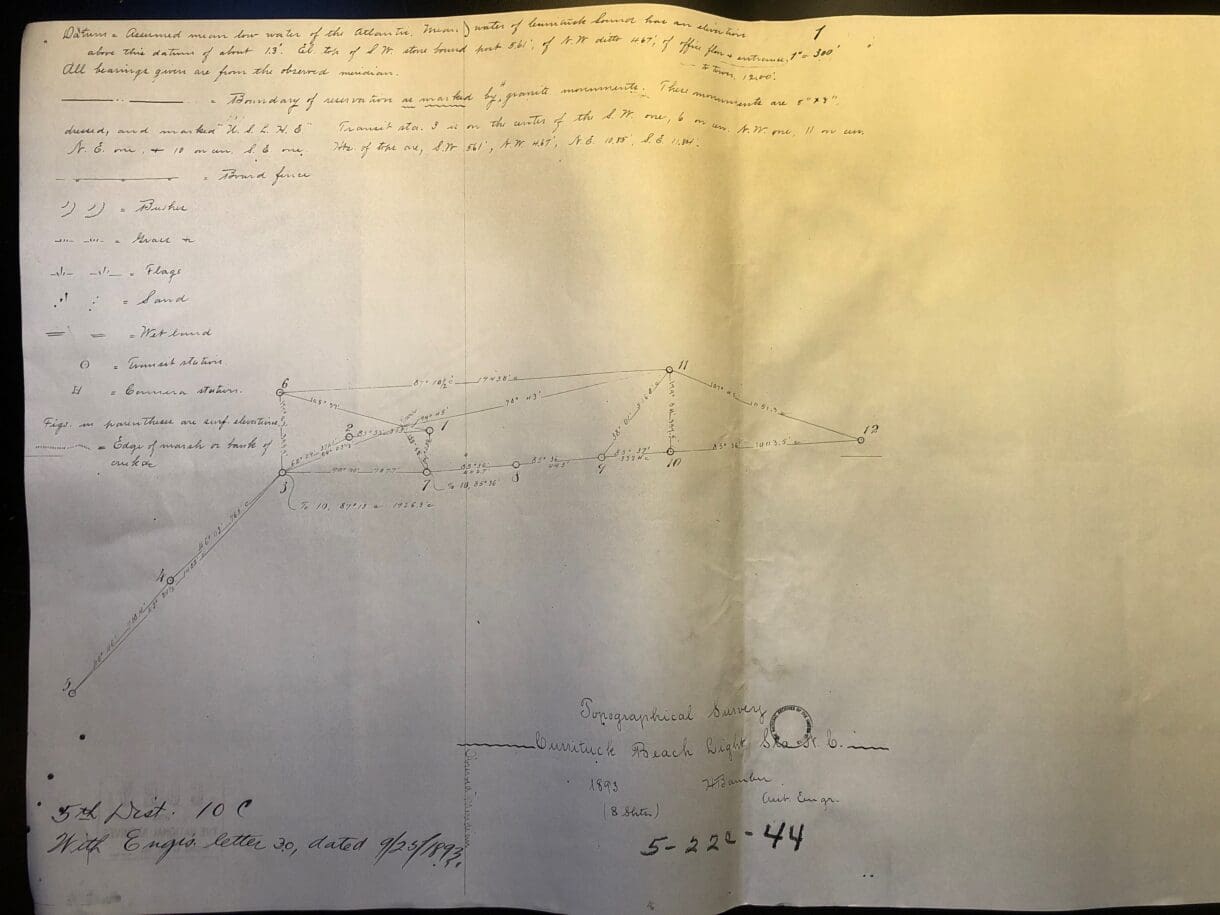
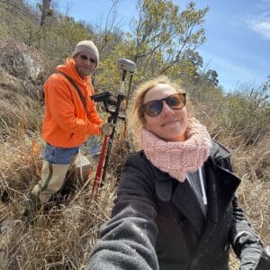
WithersRavenel surveyor Matt Hurdle, PLS, and survey crew chief Joe Huffman recently helped locate and map three granite monuments from an 1893 survey in Corolla, Currituck County. They also searched for an elusive fourth monument.
The WithersRavenel geomatics team members volunteered for the project and created a Global Navigation Satellite System (GNSS) survey based on the 1893 document provided by Meghan Agresto, the Currituck Beach Lighthouse Keeper. Agresto reached out to WithersRavenel seeking assistance, specifically with tracking down the fourth survey monument.
Granite boundary monuments were permanent posts used frequently by surveyors long ago, and sank deep into the ground to resist movement during the surveying process and afterward. The monuments were commonly used for state boundaries, but also for other surveys, particularly on public property. The Currituck monuments are 8 inches by 8 inches and several feet long, buried into the ground. The monuments are marked US LHE, which stands for United States Lighthouse Establishment, the first official name of the American agency supporting and administering lighthouses.
Three of the granite monuments were easy to find based on Agresto’s information and the long-ago survey. One of the three is in a marsh, which created some access challenges. The fourth monument could not be located. Huffman was able to pinpoint where the monument should have been; unfortunately, its home would have been in the middle of an existing gravel road. Hurdle and Hoffman believe the fourth monument is not buried, but simply no longer exists.
The location information from the 1893 survey was quite accurate, Huffman said. “A lot of those guys were really good at what they did with the equipment they had,” he said.
WithersRavenel has worked on several projects in the same area, and Hurdle and Huffman had high praise for Agresto and other lighthouse staff. “All the people who work there were excited about this project,” Huffman said. “They take care of the place very well. They are good people, and they take the historical aspect of their work seriously.”
From interpreting historic records to using modern GNSS technology, WithersRavenel’s geomatics professionals help clients locate, document, and better understand the features that define their properties. Learn more about WithersRavenel’s surveying and geomatics services.