Written By:

Land surveying and geomatics services lay the foundation for nearly every successful development, infrastructure, and construction project. Whether supporting land development, municipal infrastructure, transportation improvements, or utility projects, accurate survey data influences decisions from planning and design through permitting and construction.
Because of that, hiring a surveying consultant should involve more than comparing prices. Clients should evaluate qualifications, technology, quality processes, communication, and local expertise to ensure they are selecting a partner capable of delivering reliable results.
According to Matt Grzebien, PLS, Senior Technical Advisor in Geomatics at WithersRavenel, the selection process starts with the basics.
“First and foremost, you want to make sure that the consultant is properly licensed,” he said, “and in good standing with the licensing board.”
Beyond licensure, here are five important factors to consider when selecting a surveying consultant.
1. Experience in Similar Surveying Projects
When hiring a surveying consultant, relevant project experience remains one of the most important factors to evaluate. Experienced surveying consultants are often better equipped to identify challenges, understand project requirements, and deliver accurate survey data that supports downstream engineering and construction activities.
Grzebien recommends looking for “someone with experience on projects similar in size, scope, complexity” and “someone with a strong understanding of local ordinances, permitting requirements, and development regulations.”
Experience helps teams anticipate challenges, develop efficient workflows, and avoid preventable delays. While Grzebien notes that “surveying is surveying” in many respects, experience can become particularly valuable on specialized projects involving unique regulations, safety requirements, or operating environments.
“Experience always helps,” he said. “If you have a lot of experience, you can develop a plan of action that’s more efficient maybe than someone with less experience.”
Track record should also be part of the evaluation process. Firms with a history of successfully delivering surveying projects are often better positioned to provide reliable results and practical guidance throughout a project’s lifecycle.
2. Value Beyond Price
One of the most common mistakes Grzebien sees is clients selecting a surveying consultant based primarily on cost. “Honestly, I think a lot of people pick a surveyor solely based on price,” he said.
While cost will always be a consideration, the lowest fee does not necessarily provide the best overall value. Surveying errors, delays, or incomplete deliverables can create downstream impacts that cost significantly more than the initial savings achieved through a low bid.
Instead, clients should evaluate the complete package: staff expertise, quality assurance procedures, technology investments, responsiveness, and reliability.
As Grzebien said, clients who continue working with WithersRavenel often recognize “we have the people and the equipment and the background” needed to perform the work successfully.
The right surveying firm delivers value not simply through price, but through quality, consistency, and the ability to support project goals from start to finish.
3. Technology, Geomatics, and Data Collection Capabilities
Technology has transformed the surveying profession over the past decade, making this an increasingly important consideration when evaluating surveying consultants.
“The biggest thing I would say that’s changed in the industry is the technology that we use,” Grzebien said.
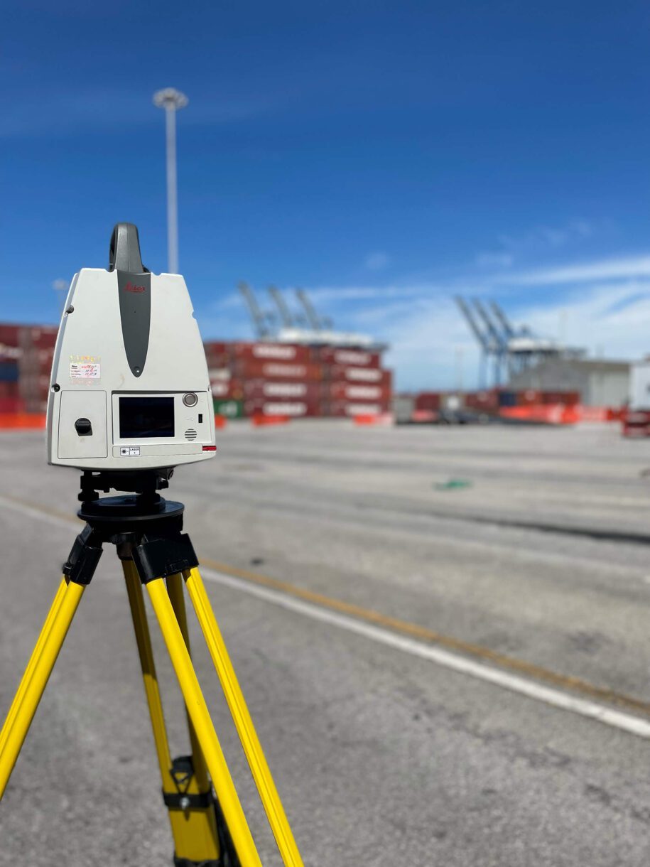
Modern surveying and geomatics services increasingly rely on advanced technologies such as drone mapping, terrestrial laser scanning, mobile LiDAR, aerial drone mapping, bathymetry, and GPS-enabled data collection. Firms that invest in these capabilities are often able to improve efficiency, increase accuracy, and deliver more comprehensive site information.
At WithersRavenel, investments in drones and remote sensing technologies have created significant gains in productivity.
“Our remote sensing group can capture topographic data across a 500-acre site in a single day, for instance,” Grzebien said. “Whereas using conventional methods, the same 500-acre site could take months.”
The benefits extend beyond schedule improvements. Modern remote sensing technology also enhances the quality of survey deliverables while contributing to improved crew safety. Technology has also improved the quality of survey data. “The accuracy has gotten a lot better, exponentially better just in the past 10 years,” he said. “That goes for drone sensors, LiDAR sensors, imaging cameras, and the GPS network.”
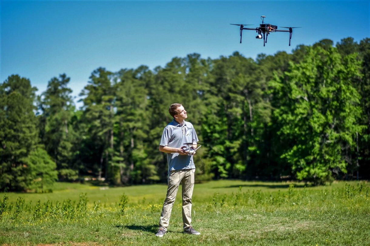
Advanced technology also helps keep field crews safer. Grzebien said that mobile scanners, terrestrial scanners, and drone technology allow teams to collect large amounts of information while reducing the need for survey personnel to work directly in traffic or hazardous environments.
Clients evaluating surveying and geomatics providers should look for firms that invest in modern technology while maintaining the expertise necessary to apply that technology effectively.
4. Accuracy and Quality Assurance in Land Surveying
Accurate survey data is essential because engineers, planners, architects, and contractors all rely on the information generated during the land surveying process. Even small errors can create substantial impacts on project schedules and budgets.
For that reason, clients should evaluate a firm’s quality assurance and quality control practices before selecting a surveyor.
“The first line of defense is the professional licensed land surveyor in responsible charge of the project,” Grzebien said. Field teams use multiple verification methods, including repeated observations and independent checks, to confirm that data is accurate before it is processed. Once a deliverable has been prepared, additional reviews take place.
“We have a QA/QC process in place where at least two people review the work following checklists that we’ve developed before it goes out,” he said.
The importance of quality control becomes clear when survey data reaches downstream project teams.
“It’s kind of like garbage in, garbage out,” Grzebien said. “If we give the engineers garbage to work with and they design a site based on that garbage, then it does not always work out in the field.”
He points to situations where inaccurate survey information could result in redesigns, construction conflicts, costly field changes, and schedule delays. Strong QA/QC processes help prevent those issues before they affect a project.
5. Communication, Responsiveness, and Local Regulatory Knowledge
Technical expertise is important, but communication remains one of the most important qualities of a successful survey consultant.
“Good client service, good communications, right? It’s kind of, again, at the top of that list,” Grzebien said.
Communication helps reduce misunderstandings, avoid rework, and keep project teams aligned. “Good communication prevents having to go back out, get something that we didn’t know we had to get,” he said.
Clients should also expect regular updates and transparency throughout the project. “Keeping them informed of where the project is, whether or not it’s on schedule, good news and bad news,” he said.
For surveying projects throughout the state, and beyond North Carolina, familiarity with local regulations and permitting requirements can also help streamline approvals and reduce delays. Survey consultants with strong regional experience often provide additional value by understanding local expectations before plans are submitted.
“Being familiar with the development regulations is pretty important,” Grzebien said.
That knowledge can help identify issues before significant resources are invested.
“You can stop a project before it gets started,” he said. “That sounds like a bad thing, but if someone has a lot that… there’s no way they’re going to approve what you want to do on it, I can say, ‘Hey, there’s no way they’re going to approve this.’”
He also said that understanding municipal expectations can help reduce review comments, improve efficiency, and shorten the approval process. “It’s good to know what they want, what the municipality wants to see on the plat before we submit it for review.”
The Right Surveying Partner
Hiring a surveying consultant is about more than obtaining measurements. It is about selecting a trusted partner that can provide accurate survey data, advanced geomatics capabilities, strong communication, and local expertise.
Licensure, experience, technology, quality assurance, communication, and regulatory knowledge should all play a role in the evaluation process.
WithersRavenel’s surveying and geomatics team provides land surveying, LiDAR surveying, remote sensing, laser scanning, aerial drone mapping, and related surveying services for clients across the broader Southeast. By combining experienced professionals, modern technology, and rigorous quality assurance processes, we help clients move surveying projects forward with confidence.
Let's Connect
Choosing the right surveying partner can help set the foundation for a smoother project from the start. WithersRavenel’s surveying and geomatics team combines experienced professionals, modern technology, and local knowledge to support projects across the Southeast.
Let’s connect to discuss your surveying needs and how our team can support your next project.