Written By:
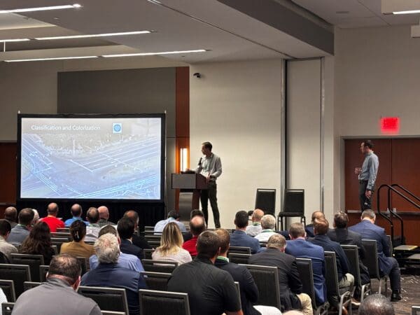
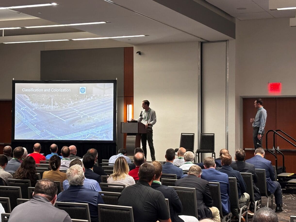
WithersRavenel’s Remote Sensing team brought a practical look at transportation corridor surveying to the 2026 ACEC/NC NCDOT Joint Transportation Conference, held September 21–22 at the Atlantic Union Bank Convention Center in Raleigh. The event brought together the American Council of Engineering Companies of North Carolina, the North Carolina Department of Transportation, and engineering and public-sector professionals to exchange ideas and advance transportation planning, design and delivery.
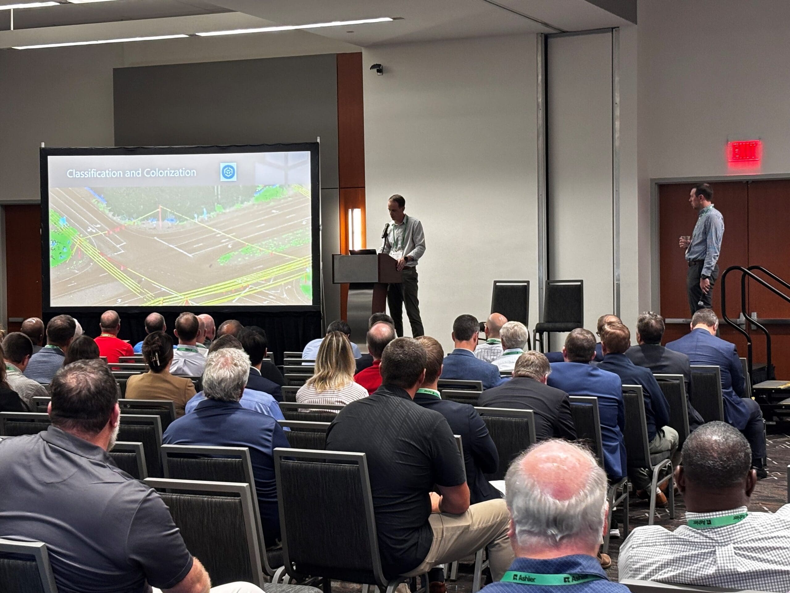
Chris Godwin, PLS, and Chris Breedlove, GISP, presented “Integrating Remote Sensing Technologies for Comprehensive Transportation Corridor Surveying.” Their session explored the challenges, successes and opportunities of combining mobile LiDAR, drone-based LiDAR and drone-based photogrammetry with conventional surveying to produce accurate, comprehensive deliverables while prioritizing safe data collection.
The presentation featured a project along U.S. 17 in Leland, North Carolina, where WithersRavenel performed surveying for Exult Engineering to support its traffic signal and roadway improvements plan. Rather than discussing each technology in isolation, the team examined how data collected through different methods can be brought together within a conventional survey, and how that integration can continue to improve.
Meet the presenters
Chris Godwin is WithersRavenel’s Remote Sensing Technical Lead, a North Carolina Professional Land Surveyor and an FAA-certified remote pilot. His work focuses on collecting and processing geospatial data for transportation, infrastructure and environmental projects.
Chris Breedlove supports mobile scanning and other remote sensing projects, drawing on experience in mobile mapping, geospatial production, GPS/GIS asset management and urban planning. He is a certified GIS professional and an FAA-certified remote pilot.
Let’s connect
From individual properties to transportation corridors and entire communities, WithersRavenel’s Remote Sensing services combine mapping and imaging technologies to capture high-quality data efficiently and safely. Connect with our team to explore how an integrated surveying approach can support your next project.